G.I.S. | Geographic Information Services
A division of Central Services
Due to departmental changes, the GIS Department is not available for public access without an appointment. If you have map or rural addressing questions, please contact us at the numbers listed below.
- For mapping questions, call: 360-416-1168
- For addressing questions, most address services can be handled online on the County Address Management page. To talk with the County Address Coordinator, call: 360-416-1141 (Tuesday - Friday) or 360-416-1168 (Mondays only).
The Geographic Information Services (GIS) office is a centralized
service center that provides mapping and GIS services to meet the
business needs of our partners, customers, and clients within Skagit
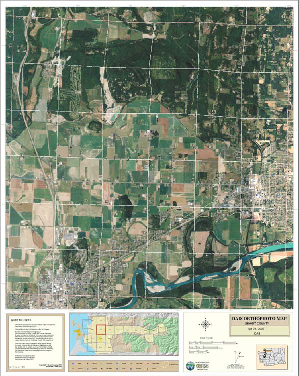
County and the communities we serve. This includes providing support
and maintenance in the areas of data conversion, cartography, remote
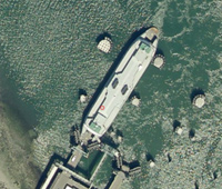
sensing, computer graphics and visualization, Global Positioning Systems
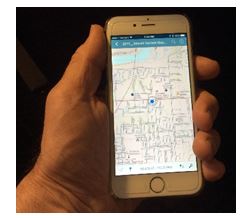
(GPS), database design, software development, address system maintenance,
and 911-database maintenance.
|


-------------------------------
GIS Coordinator: Rachel Vaughan
Mailing Address:
1800 Continental Place
Mount Vernon, WA 98273
(360) 416-1168
email: rvaughan@co.skagit.wa.us
|


