GIS
Geographic Information Services
Director: Geoff Almvig
Welcome
to the Skagit County Geographic Information Services (SCGIS)
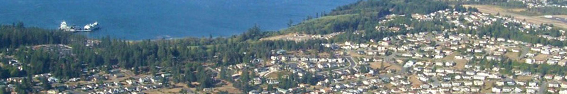
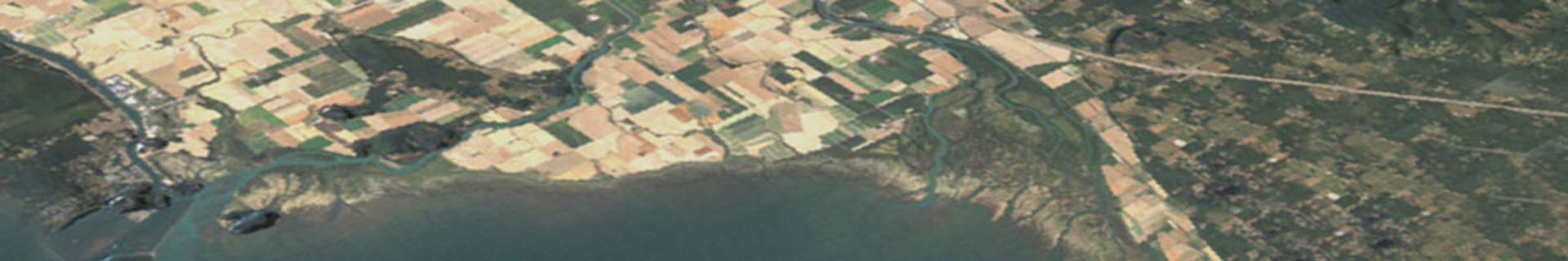
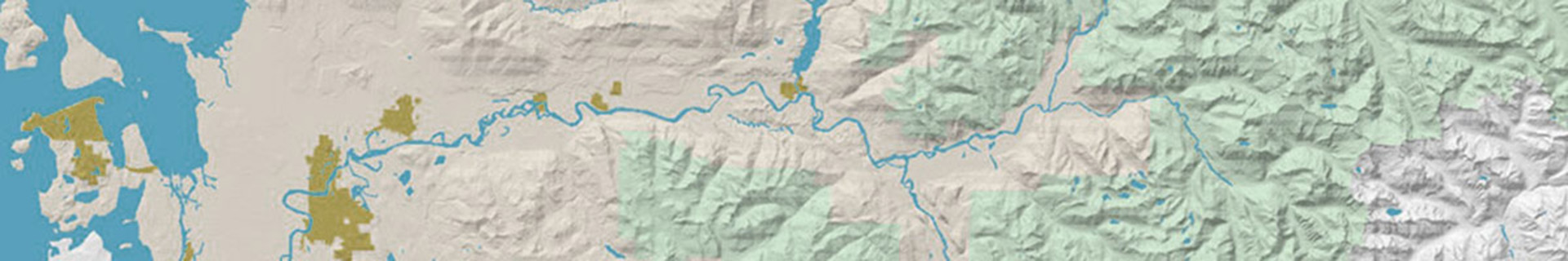
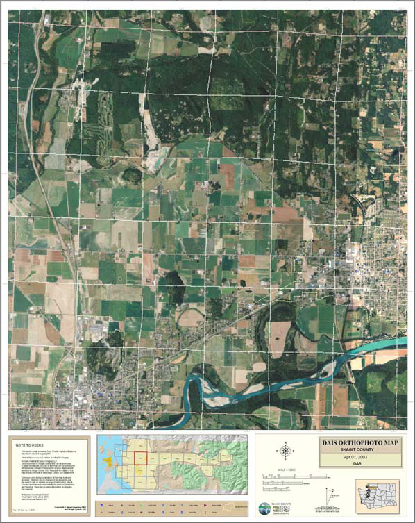
The Geographic Information Services (GIS) office is a centralized
service center that provides mapping and GIS services to meet the
business needs of our partners, customers, and clients within Skagit
County and the communities we serve. This includes providing support
and maintenance in the areas of data conversion, cartography, remote
sensing, computer graphics and visualization, Global Positioning Systems
(GPS), database design, software development, address system maintenance,
and 911-database maintenance.
Announcements:
|
There
are nine main categories on our Web site. Each area is always accessible
by using the corresponding buttons on the left side of the GIS Home
page. The areas are each briefly described as follows:
- iMAP--Interactive
Maps: iMap is an Internet Map Service (IMS) that allows interactive
viewing of Skagit County geographic information. This product
is designed to run from Microsofts Internet Explorer web
browser and provides a simple set of tools to quickly
view map information. You can now search on an address, road
name, or Assessor property id number and the system will quickly
display a map showing the map information. You can view information,
such as, ownership parcels, fire districts, commissioner districts,
zoning and comprehensive plan designations, zip codes, voting
precincts, topography, school districts, aerial photography,
and other useful information. We plan to expand the list of
layers and add links to other important county information.
You can think of iMap as an Information Portal.
The best way to see what iMap can do is to give it a try. You
do not need to download software to run it, just select the
iMap icon and it will run in your IE browser. We encourage you
to learn to use it by playing with it. However, if you need
help you can get it by selecting the ? symbol on
the iMap tool bar.
- About
GIS: page is for those who want a better understanding
of what a Geographic Information System is and how it works.
- Map
Gallery: we have an extensive gallery of maps that have
been prepared by us that are in Adobe PDF format. These maps
include zoning and comprehensive plan maps; maps of Skagit County;
relief maps; and other maps of interest. Best of all, they are
free to view and download.
- Order
A Printed Map: if you find something that you like in
the map gallery and you would like to purchase a full size copy,
this area will walk you through the easy process for placing
an order.
- Assessor
Maps: this feature gives you the capability to view
County Assessor maps via the Internet using the free Autodesk®
Whip Viewer plug-in. The Assessor maps are updated every night;
therefore, you will always be looking at the previous days changes.
You can also view parcels on iMap, however, using the DWF Viewer
allows you to view the legal Assessor Office maps
which provides more parcel information than what you will see
in iMap.
- GPS
Files: This section is for those who need Global Positioning
System (GPS) base station files to differentially correct their
GPS data. Skagit County operates two survey grade GPS reference
stations that stream data to the Washington State Reference
Network (WSRN). The WSRN provides a way to download correction
files in DAT and RINEX formats.
- Links:
if you are interested in other GIS related information,
we have collected a list of our favorite links to some great
sites.
- Digital
Data: for those of you who have GIS software and would
like to create their own maps, this area will allow you to download
our digital files at no cost.
- SCDC:
The Skagit County Database Consortium was established in 1998
to collect and analyze environmental data and to aid in the
conservation of natural resources within the Skagit river watershed.
|
|