


Operations Division: Road Maintenance
Michael See - Director
Thomas Weller, P.E. - Acting County Engineer
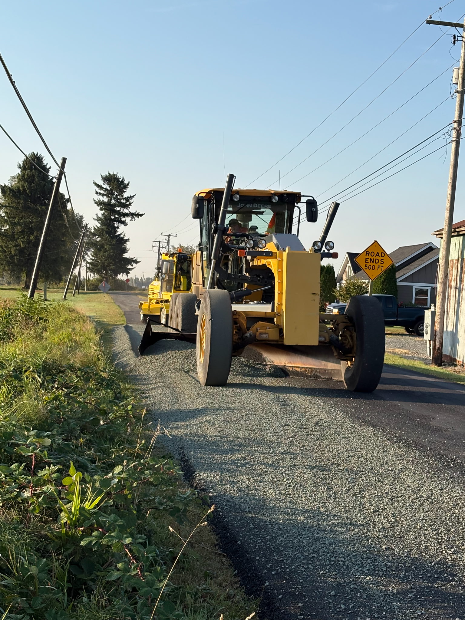
CHIP SEALING PROGRAMCrews begin by removing sod from the road shoulders. This exposes the roadway edge, restores the original width, and improves drainage. Ditches are also cleaned at this time if needed. Once sod removal is complete, the roads are swept, trees are trimmed, and brush is cut as necessary. When the weather improves—typically in May and June—roads scheduled for chip sealing are AC-leveled if required. This involves applying asphalt to areas with surface irregularities, settlements, or depressions. After patching is finished, the shoulder is brought back up to grade, and a temporary centerline stripe is applied if needed.
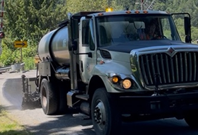
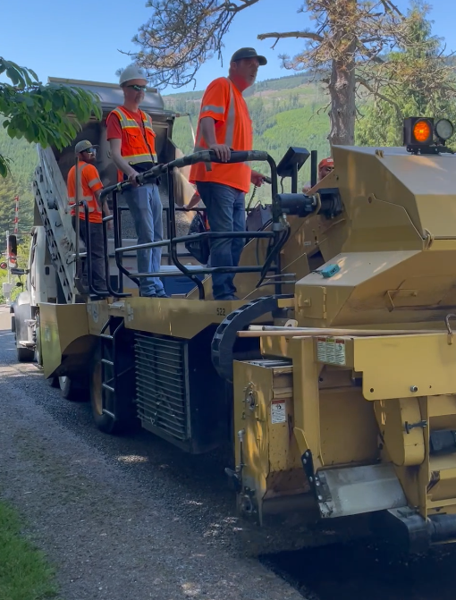
In early June, resurfacing takes place by covering the roadway with liquid asphalt and spreading a layer of rock chips, which are then rolled into the surface. The resulting new surface is approximately ½ inch thick and requires several days to cure. During this time, the roadway resembles a gravel road, so maintaining reduced speeds is critical. Once cured, the road is swept of loose gravel and re-striped. This work is completed one lane at a time, with traffic maintained through the other lane. Flaggers and pilot cars are used to protect both the work zone and the motoring public.
|
||||||||||||||||||||||||||||||||||||||||||||||||||||||||||||||||||||||||||||||||||||||||||||||||||||||||||||||||||||||||||||||||||||||||||||||||||||||||||||||||||||||||||||||||||||||||
2026 List of Roads to be Chip Sealed
District 1
District 2
District 3
|