Skagit Aggregates Rockport Pit (PL20-0507)
Project Updates
NOTICE OF PUBLIC HEARING
The Skagit County Hearing Examiner will hold a public hearing on Wednesday, May 22, 2024, beginning at 9:00 A.M, using remote access technology. A hearing room will be made available on May 22, 2024, in the Board of County Commissioners Hearing Room, 1800 Continental Place, Mount Vernon, Washington
Submit comments via our webform
A Mitigated Determination of Nonsignificance was issued on January 11, 2024. Written comments must be received no later than 4:30 p.m. on January 25, 2024. The appeal period ends at 4:30 p.m. on February 8, 2024.
The Notice of Development Application (NODA) was published December 8, 2022. The NODA public comment period closed at 4:30 p.m. on December 23, 2022.
Project Description:
Skagit Aggregates, LLC filed an application for Special Use Permit (SUP) PL20-0507, to expand an existing gravel mining operation from an approximate 10-acre tax parcel, P123394, to the southerly 30-acre tax parcel, P44865, for a total of approximately 40 acres. The proposed expansion will remove an estimated 2,670,000 cubic yards of material in three phases. The material will be processed on-site with a proposed crushing operation. No blasting will occur at the site. The existing and expanded mining operation will continue to generate 14 average daily truck trips, or 7 loads per day. The site is accessed from State Route (SR) 20 on an existing access road. The applicant also applied for a Forest Practice Conversion (FPC) permit, PL22-0435, to harvest timber on the southerly 30 acres to allow for the mining expansion. The subject site is located within the Rural Resource-Natural Resource Lands (RRc-NRL) and the Mineral Resource Overlay (MRO) zoning/comprehensive plan designated area.
Project Location:
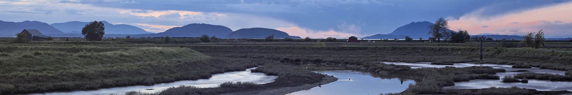
The subject site is unaddressed and located on the south side of SR 20, west of the town of Rockport, within a portion of the Northeast quarter of Section 28, Township 35 North, Range 9 East, W.M., (tax parcels P44865 (proposed gravel mine expansion tax parcel) and P123394 (existing gravel mine tax parcel)).
| Special Use Permit (SUP) Application Materials PL20-0507 |
Notice of Public Hearing |
| Notice of Development Application (NODA) |
| Special Use Permit (SUP) Application |
| SEPA Checklist |
| SEPA Supplemental Response (February 3, 2022) |
| County Request for Additional Information (February 1, 2023) |
| Applicant Response to 2023-02-01 letter (August 28, 2023) |
| Response to public comments (July 27, 2023) |
| SEPA Staff Report (January 11, 2024) |
| Mitigated Determination of Nonsignificance (January 11, 2024) |
| Updated Map Sheets (December 14, 2023) |
Final Plans (April 19, 2024) |
| Studies & Reports |
| Geologic Hazard Assessment (May 21, 2020) |
| Hydrologic Assessment (May 21, 2020) |
| Noise Study (November 5, 2020) |
| Traffic & Access Analysis (September 19, 2019) |
| Traffic & Access Analysis (May 5, 2015) |
| Environmental Site Assessment (October 7, 2013) |
| Site Management Plan (December 17, 2021) |
| Geologic Hazard Assessment Review of Reclamation Plan Proposed Surface Mine Expansion (April 18, 2023) |
| Groundwater Mounding response (December 22, 2023) |
| Stormwater Management Manual Compliance (August 28, 2023) |
| Noise and Vibration Code Compliance Report (July 12, 2023) |
| Written Dust Suppression Plan – Mobile Crushing Operation (January 17, 2023) |
| Written Dust Suppression Plan – Rockport Pit (February 1, 2023) |
2018 Annual Report Sauk-Faber Landfill |
Hong & West Association Well Construction Report |
Surface Mine Revised Reclamation Plan |
The Direct and Cumulative Effects of Gravel Mining on Ground Water Within Thurston County |
| Forest Practice Conversion (FPC) Application Materials PL22-0435 |
| Forest Practice Conversion (FPC) DNR Application & Site Plan PL22-0435 |
| Forest Practice Conversion (FPC) County Application & Site Plan PL22-0435 |
| Historic Permits |
| Conditional Use Permit (CUP) 77-031 |
| Special Use Permit (SUP) PL01-0435 |
| Special Use Permit (SUP) PL01-0435 Microfilm File |
PREVIOUS DOCUMENTS
|